A cursus is a long, straight, Neolithic structure, consisting of a bank surrounded by a ditch. It is so-called because when you walk the entire length of one to start surveying it, only to realize you have left your tape measure back at the car, you exclaim "Cursus!"
Till a fortnight ago, I had no idea what a cursus was, but then I signed up to the Lochbrow Time Team. Far more glamorous than the televisual version, the LTT consists of a Scottish cropmarks expert, an American GIS whiz, and an English landscape archaeologist, and they wanted to go up to the Southern Uplands and do some surveying. Voluntary assistance/slave labour was provide by a Welsh chemist, a Canadian anthropologist and me.
[For an alternative version, read the official account here]
Though my other half is the aforementioned landscape specialist, my archaeological skills are non-existent. The only experience I have is an afternoon of Signal Hill Archaeology, in 2010, where I sat in a small, hillside trench and hindered various Newfoundland archaeologists, scraping away slowly at soil with a small trowel, tipping buckets of rocky detritus through a giant sieve, and occasionally telling curious passers-by that no, I wasn't looking for dinosaurs (though I actually was).
It was quite different this time, as I was using magical divining sticks. Often termed 'geofizz' by Robinson et al., they are apparently known officially as magnetometers and electrical resistivity meters. Being inexperienced in their application, I decided to follow the approach of the great Chris Rabbit:
Hen(ry's Cat): What on Earth are you doing?
Me: I'm looking for treasure! I'm looking for treasure!
The weather was suitably Septembrial and Scottish. The sun shone occasionally, mostly to torment us, but wind and rain took centre stage. Wellies and waterproofs were a given (literally, in Hen's case, as she provided ponchos and boots for other members of the team).
There were three tasks for me to accomplish: use the GPS to mark out and map the site; use ropes and bamboo sticks to set up the grid for magnetometry; and make sure the cable for the resistivity meter didn't get tangled. I'm proud to say that I was just about up to them.
The others, meanwhile, learnt to actually use the resistivity meter and magnetometer. The end of day one brought out some interesting magnetometric results, so the most exciting-looking regions were targeted with the res-meter on day two.
And, just like on the telly, the results at the end of day two were a bit disappointing. A very distinct structure revealed by the magnetometric survey was completely non-existent on the resistivity map.
H: Oh, and have you found any treasure?
Me: No, but I've found this horseshoe!
Luckily, those results were for an area of the field outside the cursus, so day three focussed on getting as much magnetometry done for the cursus as possible. And, again in true television-style, that resulted in a distinctly positive outcome at the end of day three: the mag-marks not only matched up with the crop marks, but also provided a load more information. We really did have a 6,000 year-old timber cursus!
This gave us a spring in our step for the fourth and final day, but Hurricane Katia had other ideas. By early afternoon, we were cold, saturated and pretty miserable. Spitting out curses, we gave up on cursus and retired to the nearby service station for tea and cake. The evidence for Strawhenge could wait till next time...
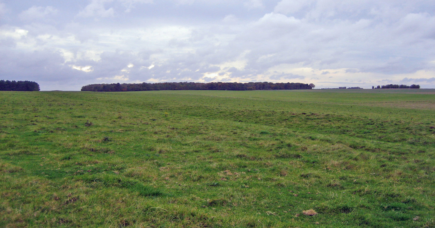 |
| The Stonehenge Cursus |
Till a fortnight ago, I had no idea what a cursus was, but then I signed up to the Lochbrow Time Team. Far more glamorous than the televisual version, the LTT consists of a Scottish cropmarks expert, an American GIS whiz, and an English landscape archaeologist, and they wanted to go up to the Southern Uplands and do some surveying. Voluntary assistance/slave labour was provide by a Welsh chemist, a Canadian anthropologist and me.
[For an alternative version, read the official account here]
Though my other half is the aforementioned landscape specialist, my archaeological skills are non-existent. The only experience I have is an afternoon of Signal Hill Archaeology, in 2010, where I sat in a small, hillside trench and hindered various Newfoundland archaeologists, scraping away slowly at soil with a small trowel, tipping buckets of rocky detritus through a giant sieve, and occasionally telling curious passers-by that no, I wasn't looking for dinosaurs (though I actually was).
It was quite different this time, as I was using magical divining sticks. Often termed 'geofizz' by Robinson et al., they are apparently known officially as magnetometers and electrical resistivity meters. Being inexperienced in their application, I decided to follow the approach of the great Chris Rabbit:
Hen(ry's Cat): What on Earth are you doing?
Me: I'm looking for treasure! I'm looking for treasure!
The weather was suitably Septembrial and Scottish. The sun shone occasionally, mostly to torment us, but wind and rain took centre stage. Wellies and waterproofs were a given (literally, in Hen's case, as she provided ponchos and boots for other members of the team).
There were three tasks for me to accomplish: use the GPS to mark out and map the site; use ropes and bamboo sticks to set up the grid for magnetometry; and make sure the cable for the resistivity meter didn't get tangled. I'm proud to say that I was just about up to them.
The others, meanwhile, learnt to actually use the resistivity meter and magnetometer. The end of day one brought out some interesting magnetometric results, so the most exciting-looking regions were targeted with the res-meter on day two.
And, just like on the telly, the results at the end of day two were a bit disappointing. A very distinct structure revealed by the magnetometric survey was completely non-existent on the resistivity map.
H: Oh, and have you found any treasure?
Me: No, but I've found this horseshoe!
Luckily, those results were for an area of the field outside the cursus, so day three focussed on getting as much magnetometry done for the cursus as possible. And, again in true television-style, that resulted in a distinctly positive outcome at the end of day three: the mag-marks not only matched up with the crop marks, but also provided a load more information. We really did have a 6,000 year-old timber cursus!
This gave us a spring in our step for the fourth and final day, but Hurricane Katia had other ideas. By early afternoon, we were cold, saturated and pretty miserable. Spitting out curses, we gave up on cursus and retired to the nearby service station for tea and cake. The evidence for Strawhenge could wait till next time...
Comments